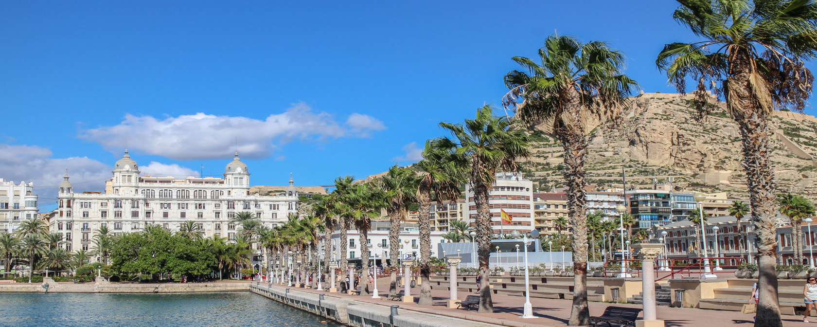
Before deciding to spend your holidays in Costa Blanca, you should gather more information about Spain and check some facts about Alicante. Our town is an ancient Mediterranean port in the southern part of the Valencia province. Alicante history was …
Use this large city map of Alicante Spain to easily orient yourself in our city.
Alicante city – center of the map
Sant Vicent del Raspeig (University) – left upper part
San Juan beach and Cabo de las Huertas – right upper part
El Campello – right upper corner
Urbanova, Arenales del Sol, Altet (Airport) – left lower part
Costa Blanca (White Coast) is situated on the Mediterranean coast of Spain in Alicante province, between Denia on the north and Torrevieja on the south. Its landscape is formed by mountains in the interior up to 1500 m high, beautiful sea and more than 200 km of long beaches with subtropical vegetation.
Centrally located in the region of Valencia in Spain, the city of Alicante offers tourists and business travelers the experience of a lifetime.